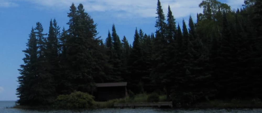
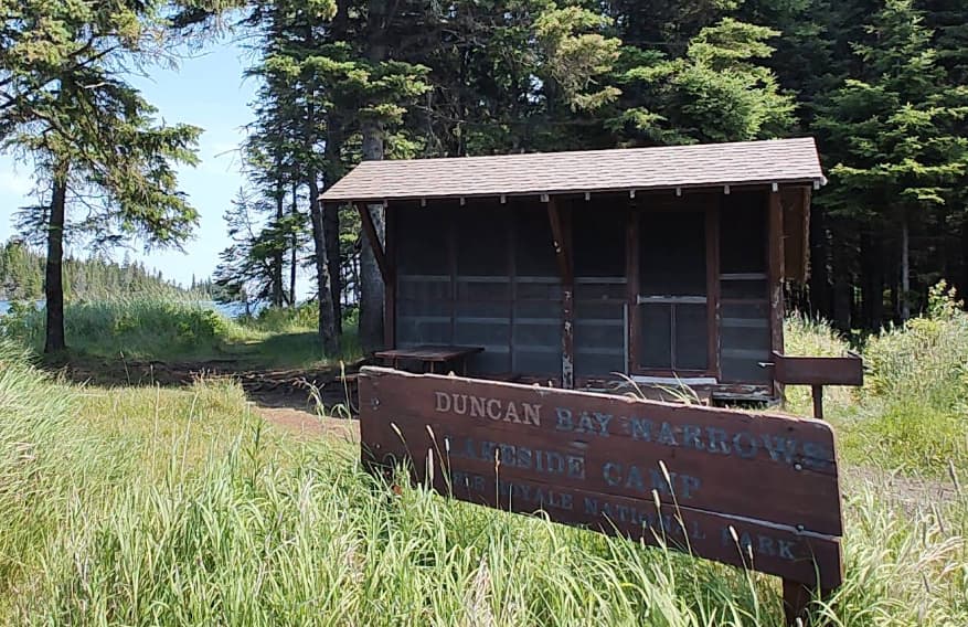
About Duncan Bay Narrows Campground
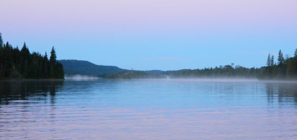
GPS Coordinates: 48° 10' 9.5232" N, 88° 28' 40.6740" W Duncan Narrows Campground is located in the narrows of Duncan Bay on the northeast end of Isle Royale National Park. Boats can stay overnight at dock. Stay Limit: 3 nights from June 1 – Labor Day annually. Shelters: 2 Depth at dock (normal conditions): 6’. Access: Canoe/kayak/private boat
Facilities
No facility data available...
COORDINATES
48.16931 N, -88.47850 E
Port Information
Telephone
Berth Sizes
< 10m, 10-20m
Depth at MLW
< 2m
Manoeuvrability
Good
Channel Marking
Excellent
Port of Entry
No
Overseas Visitor Berths
Yes
Dock Type
Floating
Style Side To
Yes
Tidal Flow
Negligible
Active Winter
Yes
Weather Forecast
Sat
5AM - 9AM
27 June 2026
 E 4 knots increasing to 7 knots.
 6 to 9°C
 Calm sea
 UV Index: 0 - Low
 Partly cloudy
Sat
9AM - 1PM
27 June 2026
- E 6 knots.
- 6 to 10°C
- Calm sea
- UV Index: 6 - High
- Partly cloudy
Sat
1PM - 5PM
27 June 2026
- SE 4–6 knots.
- 7 to 11°C
- Calm sea
- UV Index: 6 - High
- Cloudy