Port of Greymouth
New ZealandWest Coast

Port of Greymouth

1 Rating
VHF 14, 16

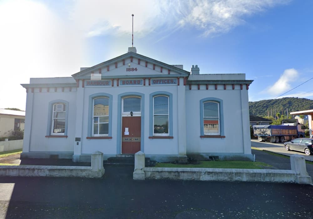
About Port of Greymouth

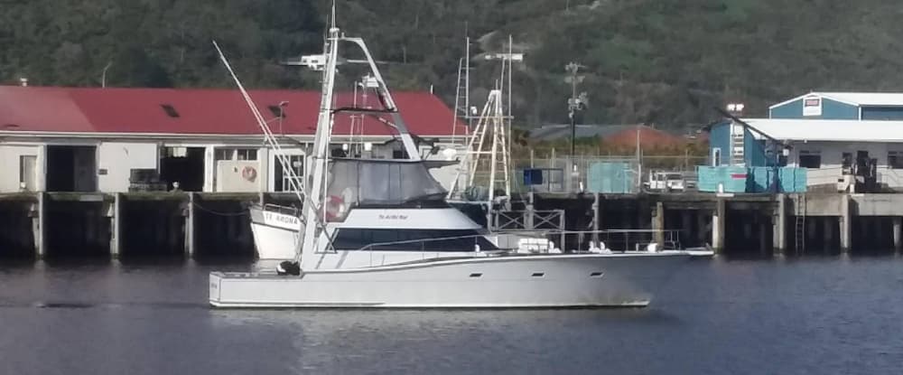
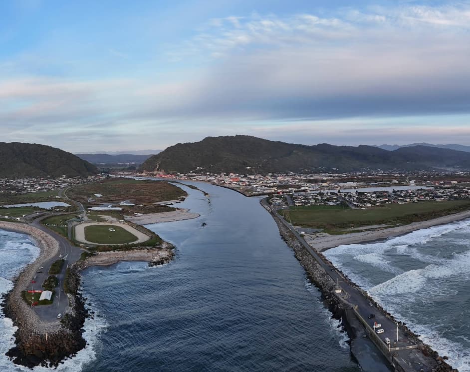
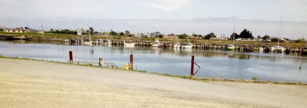
Region: West Coast – South Island Location: Mouth of the Grey River Nautical Chart: LINZ NZ 7142 – “Greymouth Harbour and Approaches” ⚓The Port of Greymouth is located on the West Coast of New Zealand’s South Island, at the entrance of the Grey River. The harbour entrance crosses a bar and is positioned between breakwaters, leading to: Cargo wharves along the river Fish unloading wharves Fishing vessel berthages in Erua Moana Lagoon ⚠ Bar conditions are variable and tidal-dependent. Entry planning is essential. 🌊 Entrance & Depths Maximum entrance draught (approximate): 4.8 m at neap tides 5.5 m at spring tides Operational range varies between 4.5 m and 6.0 m, depending on bar conditions. Vessels over 3.5 m draught must contact the Harbour Supervisor prior to entry. Current bar depths, river channel depths, lagoon soundings, berth depths and swell forecasts are available on request via email. 🛠 Slipway Facilities Maximum vessel weight: 80 tonnes DWT Maximum draught: 3.1 m Maximum keel length: 17 m 3-phase and single-phase power available Fresh water available 📡 Harbour Communications Advisory services for entry and departure are provided by the Harbour Supervisor: VHF Channel 14 Mobile: +64 27 435 3424 Advance contact is strongly recommended due to bar conditions.

Marina Image
Marina Image
Marina Image
Marina Image

Facilities

iconElectricity
iconDiesel
iconWater
iconWifi
iconSewage
iconToilets
iconRecycling
iconFood
iconHaulout
COORDINATES
-42.44781 N, 171.19922 E

Port Information

Berth Sizes

< 10m, 10-20m, 20m+

Depth at MLW

3m+

Manoeuvrability

Fair

Channel Marking

Fair

VHF Channel

14, 16

Port of Entry

No

Overseas Visitor Berths

Yes

Dock Type

Floating

Tidal Flow

Beware

Active Winter

Yes

Get Local Knowledge

Download the PredictWind App for detailed local insights, hazards, and amenities.

Weather Forecast

Mon
5AM - 9AM
16 March 2026
  • wind icon
    SW 10 knots decreasing to 8 knots.
  • temp icon
    15°C
  • wave icon
    W 2.4m at 12s period
  • sun icon
    UV Index: 0 - Low
  • rain icon
    Cloudy
Mon
9AM - 1PM
16 March 2026
  • wind icon
    SW 5–10 knots.
  • temp icon
    15 to 18°C
  • wave icon
    W 2.2m at 12s period
  • sun icon
    UV Index: 2 - Low
  • rain icon
    Cloudy
Mon
1PM - 5PM
16 March 2026
  • wind icon
    W 10 knots.
  • temp icon
    16 to 18°C
  • wave icon
    W 2.0m at 11s period
  • sun icon
    UV Index: 2 - Low
  • rain icon
    Partly cloudy

Explore other Marinas in West Coast

West Coast

Westport Harbour

Westport Harbour (Kawatiri) is a working river port located at the mouth of the Buller River on the West Coast of New Zealand’s South Island. It is primarily a commercial and fishing harbour but also accommodates visiting recreational vessels. This is a bar harbour, and conditions at the entrance can change quickly due to swell and river flow. Careful planning is required before entry. Entering the Harbour (Yachts & Recreational Vessels) Important The harbour entrance crosses a river bar. Entry may be restricted in heavy swell or adverse weather. Contact the Harbourmaster before arrival for current bar conditions. Monitor local VHF channels for traffic and instructions. Harbourmaster – Westport Phone: +64 3 788 8168 VHF: Channel 14 (confirm locally before arrival) Operated by: Buller District Council (Advance contact is strongly recommended for yachts unfamiliar with the bar.) Westport Harbour is not a full-service marina, but it does provide practical facilities for visiting yachts. Berths Fishing and commercial berths Limited space may be available for visiting recreational vessels No large dedicated floating marina complex Available Amenities Fresh water supply Shore power (limited availability) Waste oil disposal Harbourmaster services Basic wharf access Nearby Services (within town) Fuel stations (not always dockside) Groceries and supplies in Westport township Marine engineering services (limited) Restaurants and accommodation nearby Westport Harbour is a small commercial river port that accommodates fishing vessels and limited recreational craft. While not a purpose-built marina, it offers essential services for yachts able to safely cross the bar entrance. Advance communication with the Harbourmaster is essential due to changing sea conditions. Kawatiri Specifications Trailing Suction + Grab Twin Screw Length 55m 915 Gross Tons Bow Thruster 200 BHP Hopper Capacity 635m3 Dredging Depth 10.5m CD, Grab Depth 15m CD Loaded Draft 4.1m Available at the Port: Harbour Master services Berths for fishing and leisure vessels. Fresh water, power, and waste oil disposal.

View Details