McCargoe Cove Campground
Facilities & Weather Forecast
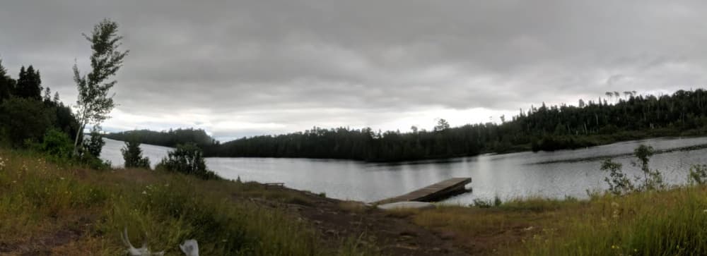
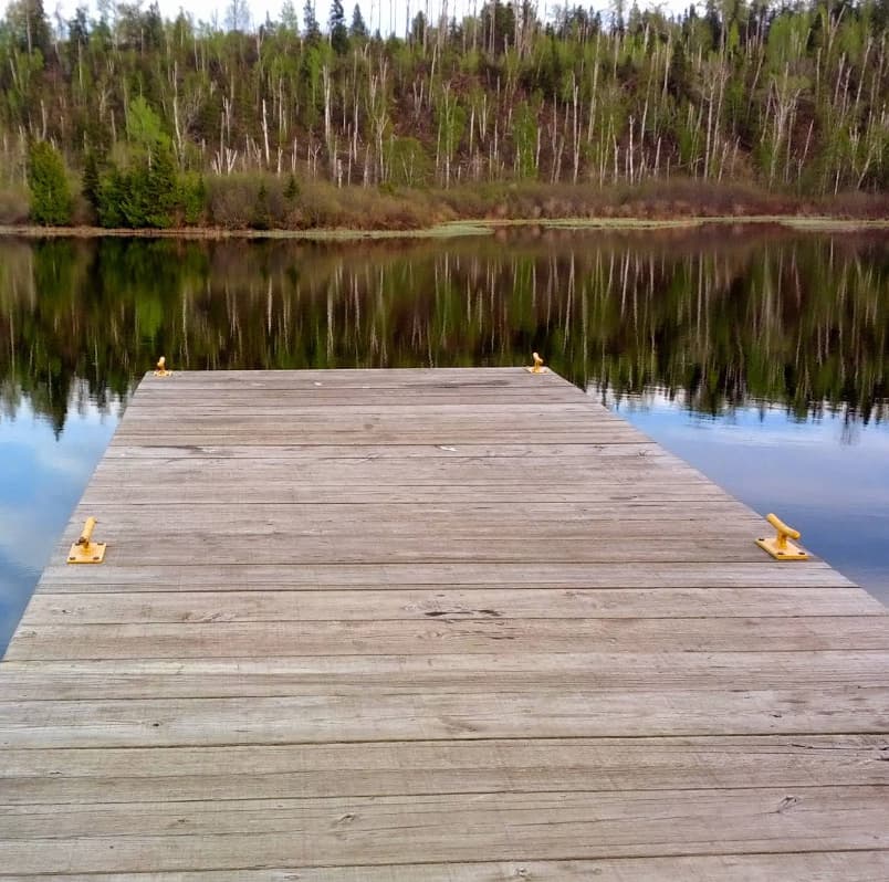
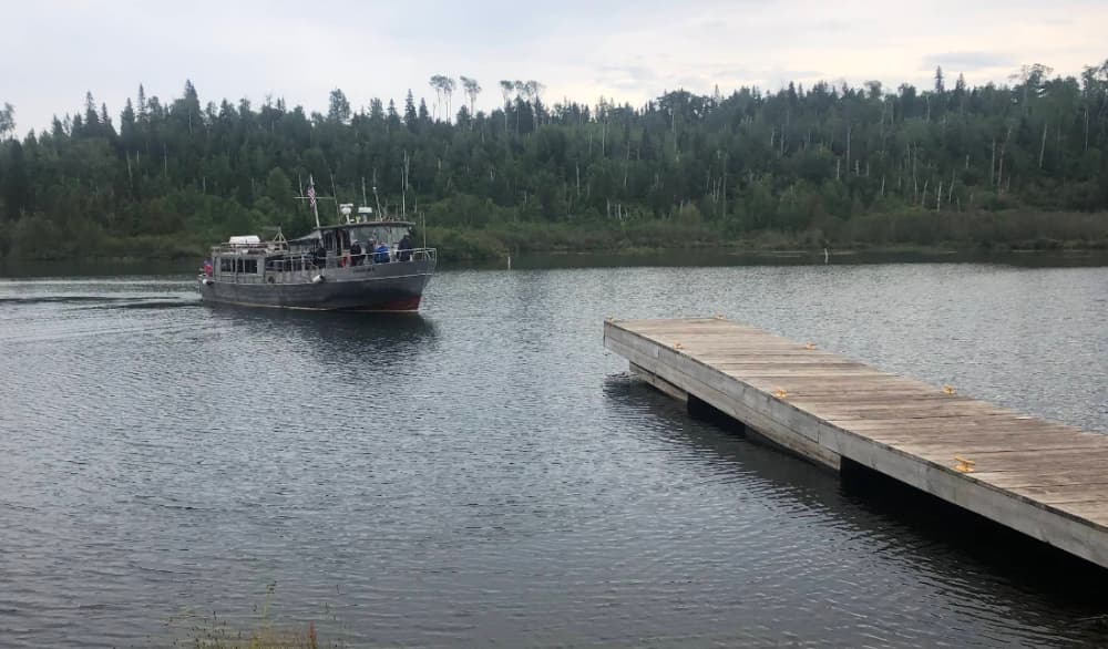
McCargoe Cove Campground
Marina in United States
GPS Coordinates: 48° 5' 13.9056" N, 88° 42' 33.6564" W McCargoe Cove Campground is located in McCargoe Cove, on the north shore of Isle Royale National Park, off of the Indian Portage and East Chickenbone Trails. Boats can overnight at dock. Canoe/kayak access from Lake Superior or 1.2 mile portage from Chickenbone Lake. Stay Limit: 3 nights effective from June 1 Labor Day annually. Shelters: 6 D
Show More
McCargoe Cove Campground Instalaciones
Agua
Baños
48.08733 N, -88.70824 E
McCargoe Cove Campground Information
¿Comunidad Activa en Invierno?
Yes
Maniobrabilidad
Good
Aproximaciones y Marcado de Canales
Fair
Tipo de Muelle
Floating
Profundidad en Marea Baja Media
< 2m
Corriente/Flujo de Marea
Negligible
Puerto de Entrada
No
Atraques para Visitantes
Yes
Teléfono
+1 (906) 482-0984Correo Electrónico
isro_parkinfo@nps.govMcCargoe Cove Campground Weather Forecast
Tue
5AM - 9AM
13 January 2026
 S 11–13 knots veering W 11-13 knots. Gusts up to 21 knots.
 1°C
1°C Calm sea
 UV Index: 0 - Low
 Cloudy
Tue
9AM - 1PM
13 January 2026
- W 10–13 knots. Gusts up to 21 knots.
- 1°C
- Calm sea
- UV Index: 0 - Low
- Cloudy
Tue
1PM - 5PM
13 January 2026
- NW 10–15 knots. Gusts up to 23 knots.
- 2°C
- W 0.4m at 3s period
- UV Index: 0 - Low
- Cloudy