Duncan Bay Narrows Campground
Facilities & Weather Forecast
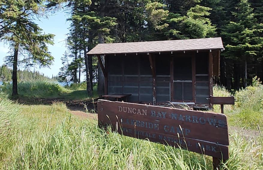
Duncan Bay Narrows Campground
Marina in United States
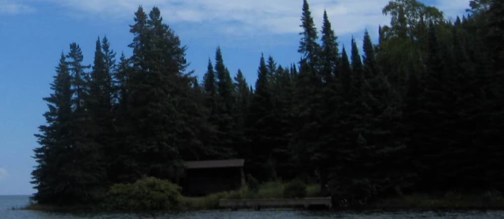
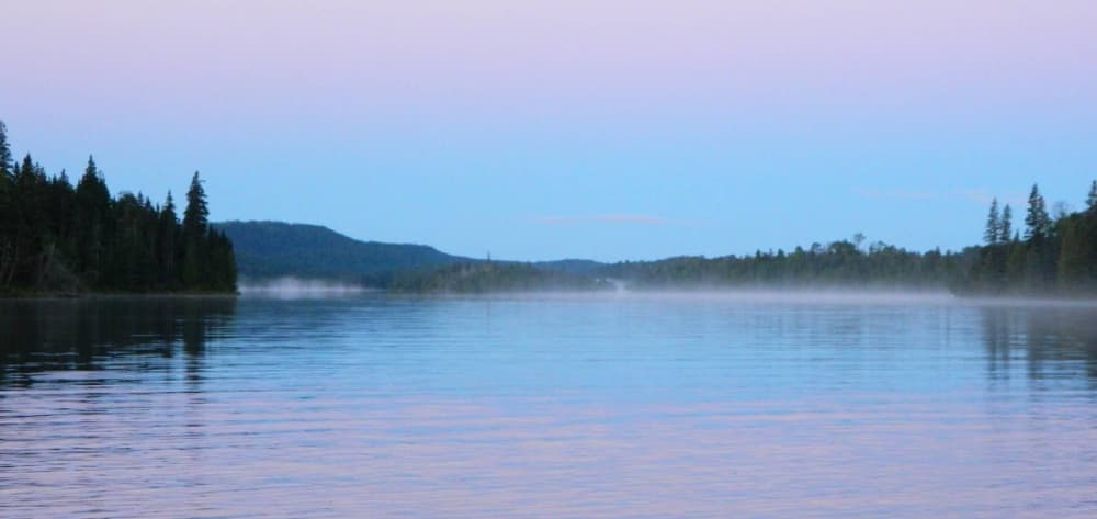
GPS Coordinates: 48° 10' 9.5232" N, 88° 28' 40.6740" W Duncan Narrows Campground is located in the narrows of Duncan Bay on the northeast end of Isle Royale National Park. Boats can stay overnight at dock. Stay Limit: 3 nights from June 1 – Labor Day annually. Shelters: 2 Depth at dock (normal conditions): 6’. Access: Canoe/kayak/private boat
Duncan Bay Narrows Campground Instalaciones
No hay datos de instalaciones disponibles...
48.16931 N, -88.47850 E
Duncan Bay Narrows Campground Information
¿Comunidad Activa en Invierno?
Yes
Maniobrabilidad
Good
Aproximaciones y Marcado de Canales
Excellent
Tipo de Muelle
Floating
Profundidad en Marea Baja Media
< 2m
Corriente/Flujo de Marea
Negligible
Puerto de Entrada
No
Atraques para Visitantes
Yes
Teléfono
+1 906 482-0984Correo Electrónico
isro_parkinfo@nps.govDuncan Bay Narrows Campground Weather Forecast
Tue
5AM - 9AM
13 January 2026
 SW 8–14 knots. Gusts up to 21 knots.
 1°C
1°C SW 0.5m at 3s period
 UV Index: 0 - Low
 Chance of showers
Tue
9AM - 1PM
13 January 2026
- W 8–13 knots. Gusts up to 18 knots.
- 1°C
- SW 0.5m at 3s period
- UV Index: 0 - Low
- Cloudy
Tue
1PM - 5PM
13 January 2026
- NW 11 knots increasing to 15 knots. Gusts up to 22 knots.
- 2°C
- W 0.6m at 3s period
- UV Index: 0 - Low
- Cloudy