TNT Marine Center
Facilities & Weather Forecast


TNT Marine Center
Marina in United States
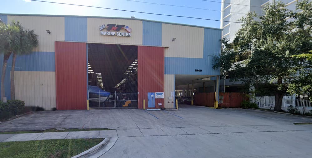
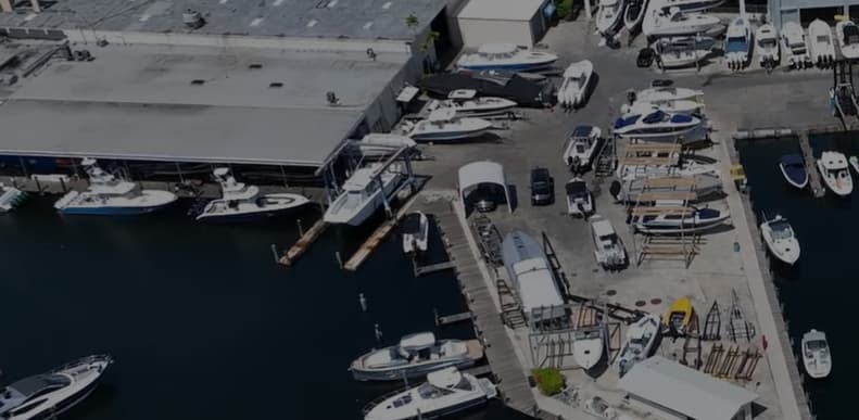
Upon entering Haulover Inlet from the Atlantic, navigate left through Biscayne Bay along the Intracoastal. Just before reaching the Broad Causeway bridge, veer right into Little Arch Creek. The marina is situated in the farthest corner from this point. Depending on the entry path, boaters will weave through the waterways until spotting a large blue and tan barn. Following the creek to the left of
Show More
TNT Marine Center Instalaciones
Electricidad
Gasolina
Diésel
Agua
Wifi
Aguas Residuales
Baños
Reciclaje
Varadero
Velería
Refugio de Huracanes
25.89896 N, -80.15951 E
TNT Marine Center Information
¿Comunidad Activa en Invierno?
Yes
Maniobrabilidad
Fair
Aproximaciones y Marcado de Canales
Fair
Tipo de Muelle
Fixed
Profundidad en Marea Baja Media
3m+
Corriente/Flujo de Marea
Negligible
Puerto de Entrada
No
Atraques para Visitantes
Yes
Teléfono
+13059476088Correo Electrónico
info@tntmarinecenter.comCanal VHF
13
TNT Marine Center Weather Forecast
Tue
5AM - 9AM
13 January 2026
- NE 8–10 knots.
- 21°C
- NE 1.3m at 6s period
- UV Index: 0 - Low
- Chance of showers
Tue
9AM - 1PM
13 January 2026
- E 8–11 knots. Gusts up to 16 knots.
- 22°C
- NE 1.3m at 6s period
- UV Index: 3 - Moderate
- Cloudy
Tue
1PM - 5PM
13 January 2026
- E 8–10 knots.
- 23°C
- NE 1.2m at 6s period
- UV Index: 0 - Low
- Cloudy
