Puerto de San Vicente de la Barquera
Facilities & Weather Forecast

Marina Image
Marina Image
Marina Image
Marina Image

Puerto de San Vicente de la Barquera

Marina in Spain

The San Vicente de la Barquera estuary is located and integrated into the Oyambre Natural Park, with 5,800 ha. Its great ecological and landscape wealth is due to the fact that it encompasses five different units: the cliffs, the beaches (Merón and Oyambre stand out due to their extension and dune systems), the estuaries (San Vicente estuary), the marshes (of Pombo and Rubín) and deciduous forests

Show More

Puerto de San Vicente de la Barquera Instalaciones

icon
Electricidad
icon
Gasolina
icon
Agua
icon
Varadero
43.38549 N, -4.39778 E

Puerto de San Vicente de la Barquera Information

Maniobrabilidad

Fair

Aproximaciones y Marcado de Canales

Fair

Atraques para Catamaranes

Yes

Tipo de Muelle

Floating

Profundidad en Marea Baja Media

2 - 3m

Corriente/Flujo de Marea

Beware

Atraques para Visitantes

Yes

Correo Electrónico
puertos@cantabria.es

Puerto de San Vicente de la Barquera Weather Forecast

Sun
1PM - 5PM
22 December 2024
  • wind icon
    NW 20 knots decreasing to 18 knots. Gusts up to 35 knots.
  • temp icon
    13°C
  • rain icon
    Chance of showers
Sun
5PM - 9PM
22 December 2024
  • wind icon
    NW 18–26 knots. Gusts up to 33 knots.
  • temp icon
    12°C
  • wave icon
    NW 3.9m at 11s period
  • sun icon
    UV Index: 0 - Low
  • rain icon
    Cloudy
Sun
9PM - 5AM
22 December 2024
  • wind icon
    NW 15–25 knots. Gusts up to 31 knots.
  • temp icon
    12°C
  • wave icon
    NW 4.0m at 12s period
  • sun icon
    UV Index: 0 - Low
  • rain icon
    Cloudy
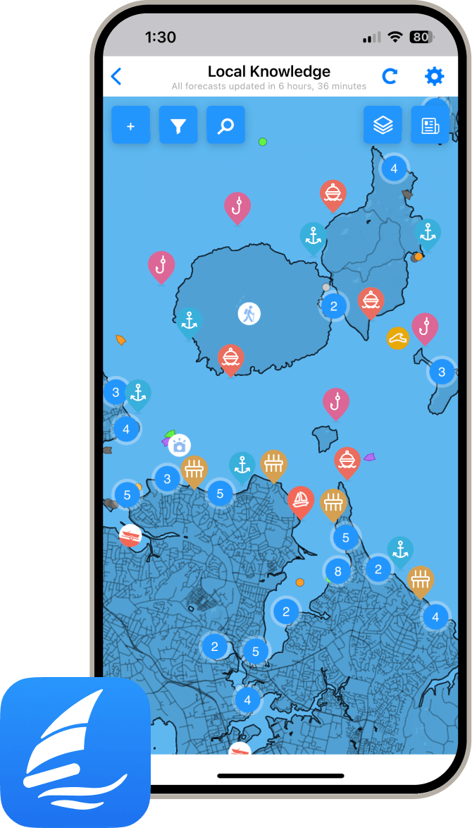
local knowledge on phone

Obtén más información y pronósticos meteorológicos precisos.

Descarga la aplicación PredictWind para pronósticos meteorológicos líderes en el mundo e información sobre tu próximo destino, incluyendo ubicaciones marinas, comodidades, actividades, atracciones, peligros locales y más.

Explora otros Puertos Deportivos en Cantabria

Puerto de Bustio

Marina in Cantabria
Bustio, port and door of Asturias Bustio is one of the quietest fishing villages in all of Asturias. Its unique geography, on a riverside bend in the Ría de Tinamayor – the natural border between Asturias and Cantabria – gives it an air that is always peaceful, like time and space stopped, like eternal solace. Thus, in this small and quiet town guarded by mountains in the municipality of Ribadedeva, you will be surprised by the mouth of the Cares-Deva river, a natural passageway for migratory birds from Northern Europe to warmer areas during the colder months. To learn in detail about the history of the fauna and flora of this area, we recommend the Ría de Tinamayor Bird Watching and Interpretation Centre, a didactic and informative space promoted by the fishermen themselves. In addition, it has a beautiful fishing port, collected under the Cañón peak. Another interesting recommendation is that you savor a good fresh fish such as pixín (monkfish) or sargo, in any of the restaurants in Bustio, while enjoying a walk contemplating buildings of Indian architecture, such as "Villa Delfina", very close to the old iron bridge that connected Asturian and Cantabrian lands. Bustio is the easternmost gate of Asturias, and precisely because of that condition, and because of its location on the very edge of an estuary that flows into the Bay of Biscay, it has always had a strong link with the coastal Camino de Santiago. So this ancient town is not only seafaring but also Jacobean, and almost a mountaineer, because from here you can sense the winds and the high peaks of the Picos de Europa, which are just a few kilometres away. Sinuous and beautiful estuary, nearby beaches, untamed sea, hidden port, pilgrims on the Camino, and mountains all around. Bustio is a curious mix that makes it unique.
View Details