Predictwind Logo

KORISSIA - KEA

KORISSIA - KEA

Marina in Greece

The main port of the island of Kea is Korissia. Korissia, is located in the bay of St. Nikolaos, is a natural harbor and is one of the largest and safest in the Mediterranean. It welcomes you in Kea by unfolding its beauty of the first sight. In the entrance the harbor you can admire the lighthouse of St. Nikolaos with the chapel. Constructed in 1831 by the French Company of Lighthouses it is one

KORISSIA - KEA Instalaciones

icon
Electricidad
icon
Gasolina
icon
Diésel
icon
Agua
icon
Wifi
icon
Duchas
icon
Baños
icon
Reciclaje
icon
Comida
icon
Bicicletas
icon
Bar
37.66156 N, 24.31341 E

KORISSIA - KEA Info

¿Comunidad Activa en Invierno?

Yes

KORISSIA - KEA Weather Forecast

Mon
5AM - 9AM
25 November 2024
  • wind icon
    N 9 knots decreasing to 7 knots.
  • temp icon
    10–12°C
  • wave icon
    N 0.4m at 3s period
  • sun icon
    UV Index: 0 - Low
  • rain icon
    Sunny
Mon
9AM - 1PM
25 November 2024
  • wind icon
    N 6 knots increasing to 9 knots.
  • temp icon
    13°C
  • wave icon
    Calm sea
  • sun icon
    UV Index: 2 - Low
  • rain icon
    Sunny
Mon
1PM - 5PM
25 November 2024
  • wind icon
    N 10 knots increasing to 14 knots. Gusts up to 18 knots.
  • temp icon
    13°C
  • wave icon
    Calm sea
  • sun icon
    UV Index: 0 - Low
  • rain icon
    Sunny
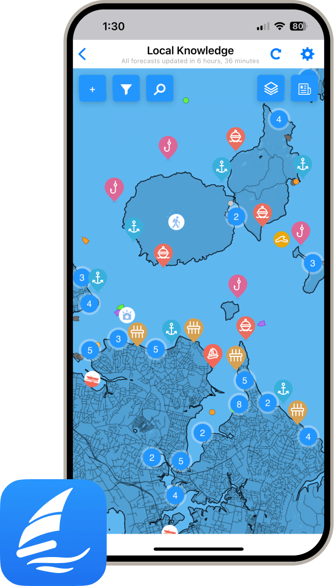
local knowledge on phone

Obtén más información y pronósticos meteorológicos precisos.

Descarga la aplicación PredictWind para pronósticos meteorológicos líderes en el mundo e información sobre tu próximo destino, incluyendo ubicaciones marinas, comodidades, actividades, atracciones, peligros locales y más.

Explora otros Puertos Deportivos en South Aegean

Symi Harbour

Marina in South Aegean
The island's location and large natural harbour made it a convenient way point for trade, so it is believed that Symi played an important role in the transportation of goods throughout the Mediterranean. The harbour town and port of call for massive cruise liners who manage to navigate the relatively small harbour with amazing skill. Symi is just as popular with the yachties as with people holidaying on land. Yachts can moor at the northern side of the quay. You will often hear a whistle from somewhere and then the harbour master will assign a berth to someone. When it is too full, it looks somewhat disorganised but still endearing. The water depths decline rapidly, which is why you have to let out a lot of chain. The anchorage is dirty, some areas are rocky and it has a moderate hold. At the vertex of the harbour bay, anchors can easily get entangled in the old chains and lines lying around on the seabed. Watch out for the swell, sometimes heavy, generated by the many ferries. Many taverns, bars and various small food stores are lined up along the waterfront. The island has everything a visitor could need – including banks and ATMs, a pharmacy, markets, souvenir shops, bars and tavernas, and a medical clinic. Approach - From the S it is easy to confuse the entrance to Pethi with that of Simi which will not be seen until you are right into Simi bay. Details Type of berthing:: Stern-to Depth:3 - 20 m The port has berthing assistance. This is a Port of entry Lovely town harbour, Near an appealing place
View Details
© 2024 PredictWind