About Port of Mananjary
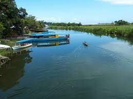
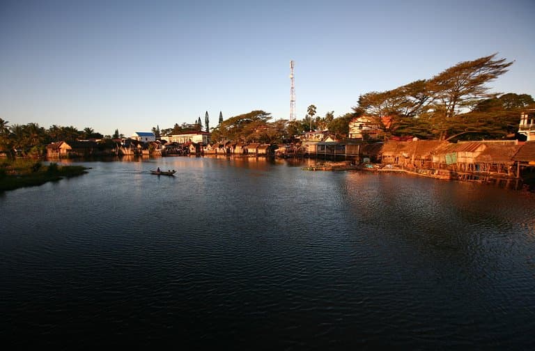
N/LOCODE: MGMNJ Mananjary, town, eastern Madagascar. It lies at the mouth of the Mananjary River. A port on the Indian Ocean and the Pangalanes Canal, it handles coastal shipments of coffee, vanilla, cacao, olives, and rice. It is at the end of a highway from Fianarantsoa (85 miles [137 km] northwest). Latitude: -21.23333 Longitude: 48.36667 Anchorage depth: 14m - 15.2m Cargo pier depth: 1.8m - 3m APMF HEADQUARTERS PORT, MARITIME AND RIVER AGENCY Building (APMF) Hydrocarbons Route, Alarobia Antananarivo Box 581 Tel: +261 20 22 539 95 / + 261 20 24 257 00 Fax: + 261 20 22 539 34 GSM: +261 32 11 257 00 Email: apmf@apmf.mg Authority in charge of port, maritime and river regulation razafijaona@gmail.com 0321125733
Comodidades
 GasolinaDiesel
 Banheiros
 Alimentos
 Serviços médicos
 Montador de mastros
 Desembaraço aduaneiro
COORDINATES
21.24372 S, 48.34487 E
Port Information
Telefone
Profundidade na MLW
3m+
Manobrabilidade
Fair
Porto de entrada
Yes
Overseas Visitor Berths
Yes
Tipo de doca
Floating
Tidal Flow
Negligible
Active Winter
Yes
Weather Forecast
Thu
5AM - 9AM
13 August 2026
 SW 4 knots.
 23°C
23°C E 1.8m at 10s period
 UV Index: 3 - Moderate
 Mostly fine
Thu
9AM - 1PM
13 August 2026
- SW 4 knots increasing to SE 6 knots.
- 23 to 25°C
- SE 1.8m at 10s period
- UV Index: 6 - High
- Mostly fine
Thu
1PM - 5PM
13 August 2026
- SE 7 knots increasing to 9 knots.
- 24°C
- SE 1.9m at 10s period
- UV Index: 2 - Low
- Mostly fine