About Port Isabel-San Benito
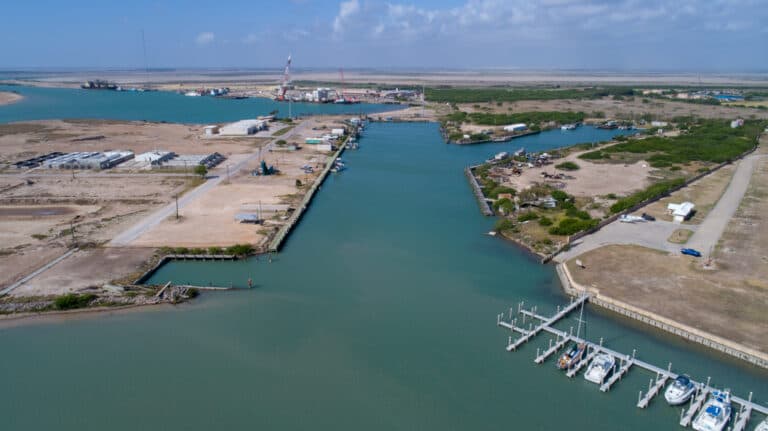
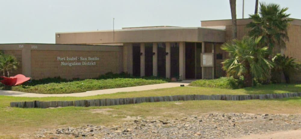
The Port Isabel – San Benito Navigation District is located at 250 Industrial Drive, Port Isabel, Texas. The Port Isabel-San Benito Navigation District offers incentives to businesses and manufacturers to foster a mutually beneficial partnership. With 726 acres of land, it is the southernmost port along the Texas Gulf Coast, located 9 miles north of the Rio Grande River's mouth in Cameron County, Texas. Adjacent to the City of Port Isabel and the Town of South Padre Island, it is connected to the mainland by Texas' longest bridge—the 15,210-foot Queen Isabella Causeway. The Port is also near the Brownsville/Harlingen/San Benito Standard Metropolitan Statistical Area (SMSA). Important Numbers US Coast Guard (956) 761-2373 VHF CH 16/9 US Dept. of Homeland Security (210) 321-2800 (956) 548-2515 USCG AWW (877) 24WATCH US Customs & Border Patrol (800) BE ALERT Port Isabel Police Dept. (956) 943-2727 Port Isabel Fire Dept. (956) 943-7826 Navigation District Office (956) 943-7826 South Point Marina (956) 943-7926 Long Island Wing Bridge (956) 943-1622 VHF CH 12 Tow Boat US Port Isabel (956) 371-1693 VHF CH 16 Services are also available in: Brownsville PILOT Southpoint Marina II Customs Clearance Port Code 2301 Address: 3300 S. Expressway 77/83. Brownsville, TX 78521 Phone +1 956-983-5800 Fax +1 956-983-5830


Facilities
Port Information
Telephone
Berth Sizes
Depth at MLW
Manoeuvrability
Channel Marking
VHF Channel
Port of Entry
Overseas Visitor Berths
Dock Type
Tidal Flow
Active Winter
Weather Forecast
 S 14 knots.
 29°C
29°C Chance of showers
- S 4–16 knots. Gusts up to 21 knots.
- 27 to 31°C
 S 0.4m at 2s period
 UV Index: 11 - Extreme
- Chance of showers
- SE 14–17 knots. Gusts up to 19 knots.
- 30°C
- SE 0.4m at 2s period
- UV Index: 11 - Extreme
- Sunny