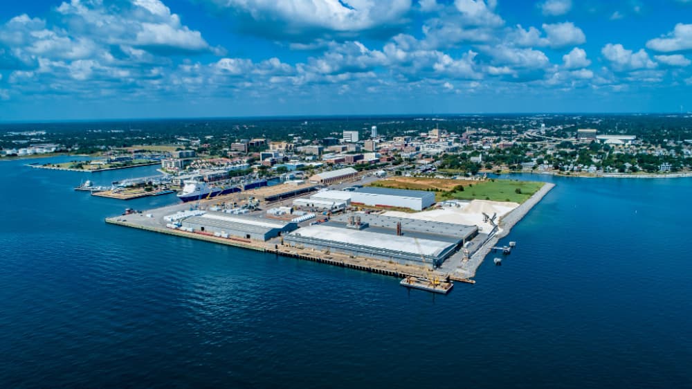
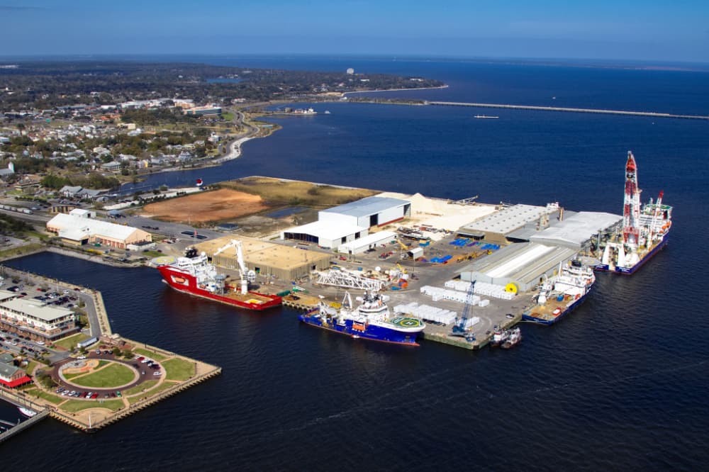
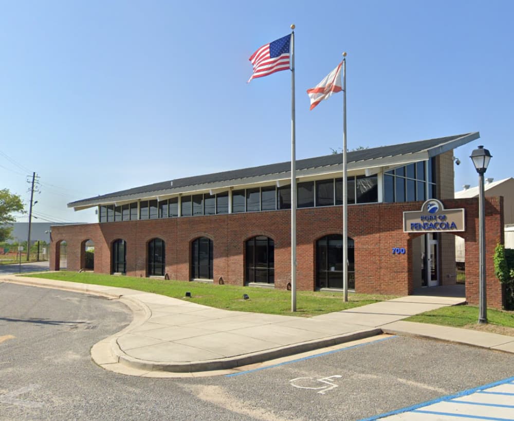
About Port of Pensacola
The official UN/Locode of this port is USPNS. Pensacola is located on the NNW shore of Pensacola Bay, Florida. General overview: Pensacola is a safe, natural harbour, with good anchorage located in the Gulf of Mexico. The port is 12.9km from the open sea with the entrance being at the western end of Santa Rosa Island. The harbour is connected to the Intra-coastal Waterway and is directly served by Burlington Northern Seaboard Port Pensacola is a full-service port offering stevedore and marine terminal services for all descriptions of bulk, break-bulk, unitized freight, and special project cargo. Additionally, offshore vessel Marine Maintenance, Repair, and Overhaul (MRO) services are also delivered by Port tenants and business partners. Response Phone: 251-441-5962 Incident Mgmt. Phone: 251-441-6231 Enforcement Phone: 251-441-6005 Prevention Phone: 251-441-5284 Inspection Phone: 251-441-6512 Investigations Phone: 251-441-5998 Waterways Management Phone: 251-441-5940 Prep/Planning Phone: 251-441-5202 Facilities Branch Phone: 251-441-5697 Commercial Fishing Vessel Phone: 800-880-3193 Foreign Vessel Exams Phone: 251-441-5279 Facility Inspection Branch Phone: 251-441-5942 https://www.facebook.com/portofpensacola/
Facilities
Port Information
Telephone
Berth Sizes
Depth at MLW
Manoeuvrability
Channel Marking
VHF Channel
Port of Entry
Overseas Visitor Berths
Dock Type
Tidal Flow
Active Winter
Weather Forecast
 6 knots.
 29°C
29°C Chance of showers
- NW 4–10 knots backing W 4-10 knots.
- 29°C
 Calm sea
 UV Index: 11 - Extreme
- Chance of showers
- SW 4–8 knots.
- 27 to 30°C
- Calm sea
- UV Index: 11 - Extreme
- Chance of showers