About Port de Plaisance Olga
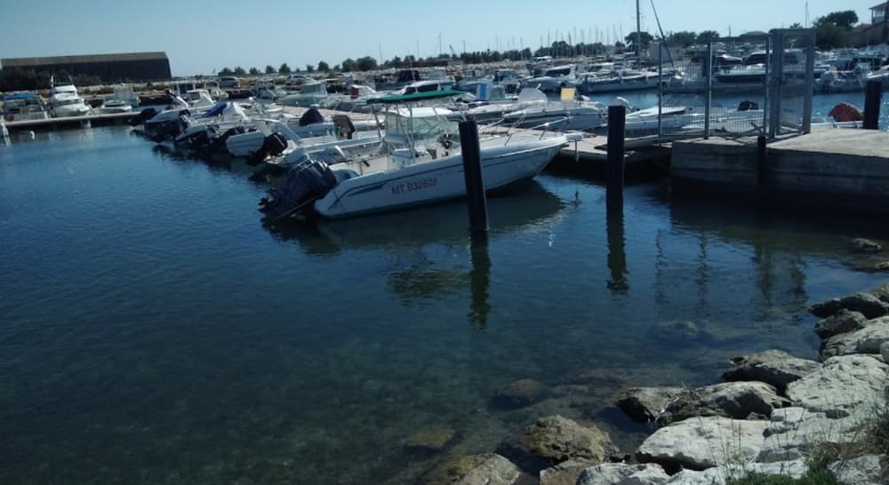
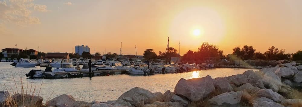
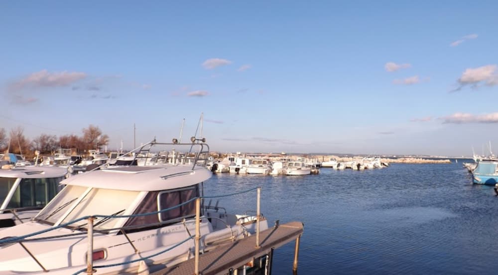
Association des Plaisanciers de la Plage Nord Foundation: Established in 1987, initially mooring boats on Olga Beach. Development History: Early development in the 1980s and 1990s. Construction of a proper harbor in 1992. Expansion continued with new wharves starting in 2000. Location: Situated between the Canal Saint-Louis and the Olga dock in the Gulf of Fos. Protection: The marina is safeguarded by a rockfill dyke aligned with the Saint-Louis canal. Port Specifications: Surface area: 14,000 m². Mooring Capacity: 140 berths. Depth: 1.2 meters. Facilities: 4 floating wharves (48 to 80 meters) and a careening area for boats up to 9 meters.
Facilities
COORDINATES
43.39044 N, 4.85304 E
Port Information
Telephone
Berth Sizes
< 10m
Depth at MLW
< 2m
Manoeuvrability
Fair
Channel Marking
Fair
VHF Channel
12
Port of Entry
No
Overseas Visitor Berths
Yes
Dock Type
Fixed
Style Stern To
Yes
Tidal Flow
Negligible
Weather Forecast
Sat
5AM - 9AM
27 June 2026
 Light and variable.
 Increasing from 23 to 26°C
 Calm sea
 UV Index: 0 - Low
 Sunny
Sunny
Sat
9AM - 1PM
27 June 2026
- E 2 knots increasing to SW 7 knots.
- Increasing from 28 to 32°C
- Calm sea
- UV Index: 9 - Very High
- Sunny
Sat
1PM - 5PM
27 June 2026
- S 8 knots increasing to 10 knots.
- 28 to 34°C
- Calm sea
- UV Index: 9 - Very High
- Sunny