Porto Carras
Facilities & Weather Forecast

Porto Carras

Marina in Greece

The MarinaPorto Carras is located on the East Side of Sithonia Peninsula, Ηalkidiki -Northern Greece. The marina has a capacity of 315 berths for yachts up to 55 m length and 5,5 m draught. All berths have water and power supply. The distance to the international airport of Thessaloniki is about 110 km. Porto Carras Marina is the largest private marina in Northern Greece and surrounded by a beauti

Show More

Porto Carras Servizi

icon
Elettricità
icon
Benzina
icon
Acqua
icon
Wifi
icon
Docce
icon
Toilette
icon
Cibo
40.07535 N, 23.79440 E

Porto Carras Information

Comunità Attiva in Inverno?

Yes

Manovrabilità

Good

Approcci e Segnalazione dei Canali

Excellent

Ormeggi per Catamarani

Yes

Tipo di Molo

Floating

Profondità alla Bassa Marea Media

3m+

Corrente/Flusso di Marea

Negligible

Porto di Entrata

Yes

Ormeggi per Visitatori

Yes

Porto Carras Weather Forecast

Fri
5AM - 9AM
27 December 2024
  • wind icon
    NE 14–26 knots. Gusts up to 30 knots.
  • temp icon
    9°C
  • wave icon
    NE 0.5m at 3s period
  • sun icon
    UV Index: 0 - Low
  • rain icon
    Partly cloudy
Fri
9AM - 1PM
27 December 2024
  • wind icon
    NE 17 knots decreasing to 11 knots. Gusts up to 24 knots.
  • temp icon
    9°C
  • wave icon
    E 0.4m at 4s period
  • sun icon
    UV Index: 1 - Low
  • rain icon
    Mostly fine
Fri
1PM - 5PM
27 December 2024
  • wind icon
    NE 1–12 knots.
  • temp icon
    9°C
  • wave icon
    Calm sea
  • sun icon
    UV Index: 0 - Low
  • rain icon
    Cloudy
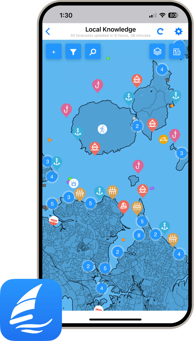
local knowledge on phone

Ottieni più informazioni e previsioni meteorologiche accurate.

Scarica l'app PredictWind per previsioni meteorologiche leader nel mondo e informazioni sulla tua prossima destinazione, inclusi località marine, servizi, attività, attrazioni, pericoli locali e altro.

Esplora altri porti turistici a Central Macedonia

Porto Koufo

Marina in Central Macedonia
Porto Koufo is a bay whose inn is a natural small port with an entrance direction from South to North. It is located in the Toroneos Gulf, near the south-western end of Sithonia. It is one of the safest bays and anchorages in Northern Greece that although its entrance is on the west side of the peninsula, then the bay turns 90 degrees north thus providing safe coverage regardless of the direction of the wind. It is noted that the entrance of Porto Koufo bay at a distance from the sea is indistinguishable. For this reason, there are two lighthouses on either side of the entrance. During the day, the safe entrance is achieved by aligning the middle of the entrance with the Trikrano peak of Mount Athos. It is noteworthy that during World War II, it was used by German submarines due to its strategic position, which provided natural air cover and direct access to the Aegean. The Germans, during World War II, used it as a base and fortified it strongly. Today, it is a quiet, small fishing village that is evolving into a remarkable tourist resort of Sithonia. Porto Koufo was the ancient port of Toronea, the safest anchorage for Toronean ships. The port retains its ancient name to this day, since then it was called Kofos port, because the ancients claimed that whoever is in the bay does not hear the roar of the sea at all. Porto Koufo is 146 km from Thessaloniki and 82 km from the capital of the Prefecture of Halkidiki, Polygyros. Today, the port of Porto Koufo has been adapted to a small fishing port (shelter), but with a limited facility for mooring small tourist boats and yachts.
View Details