Port Isabel-San Benito
Facilities & Weather Forecast
Port Isabel-San Benito
Marina in United States
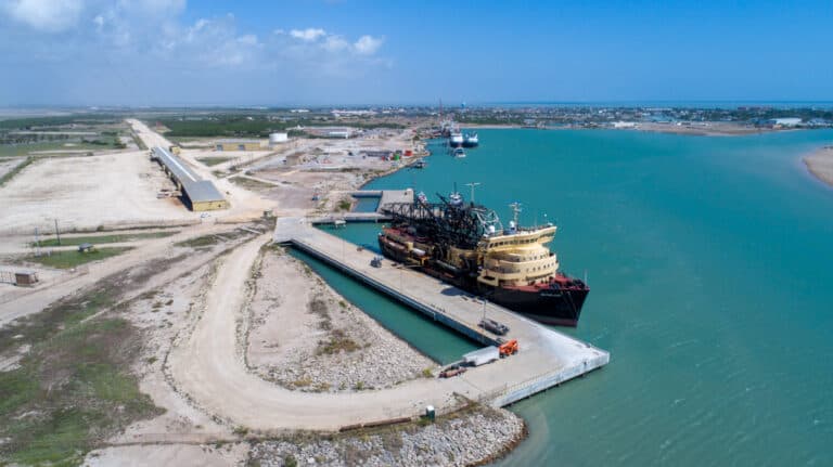
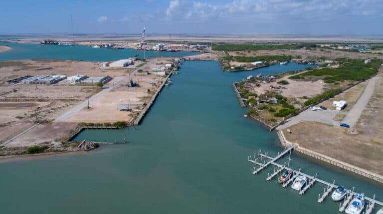
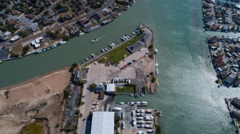
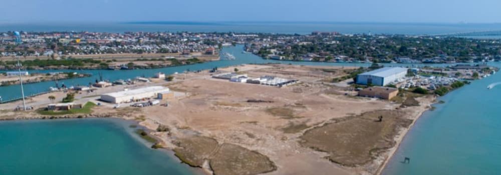
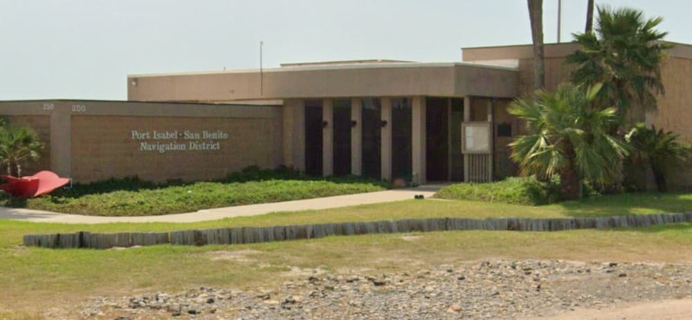
The Port Isabel – San Benito Navigation District is located at 250 Industrial Drive, Port Isabel, Texas. The Port Isabel-San Benito Navigation District offers incentives to businesses and manufacturers to foster a mutually beneficial partnership. With 726 acres of land, it is the southernmost port along the Texas Gulf Coast, located 9 miles north of the Rio Grande River's mouth in Cameron County,
Show More
Port Isabel-San Benito Installations
Électricité
Essence
Diesel
Eau
Eaux usées
Toilettes
Recyclage
Sortie d'eau
Dédouanement
26.06327 N, -97.21311 E
Port Isabel-San Benito Information
Communauté active en hiver ?
Yes
Manœuvrabilité
Fair
Approches et balisage des canaux
Fair
Type de quai
Floating
Profondeur à la marée basse moyenne
3m+
Courant/flux de marée
Negligible
Port d'entrée
Yes
Amarrages pour visiteurs
Yes
Téléphone
+19569437826Canal VHF
16/9
Port Isabel-San Benito Weather Forecast
Mon
5AM - 9AM
12 January 2026
 NW 13 knots decreasing to 10 knots. Gusts up to 19 knots.
 12 to 14°C
 NW 0.4m at 3s period
 UV Index: 0 - Low
 Cloudy
Mon
9AM - 1PM
12 January 2026
- NW 10–12 knots.
- Increasing from 14 to 17°C
- N 0.5m at 3s period
- UV Index: 3 - Moderate
- Cloudy
Mon
1PM - 5PM
12 January 2026
- N 9–13 knots.
- 17°C
- Calm sea
- UV Index: 0 - Low
- Partly cloudy

Obtenez plus d'informations et des prévisions météorologiques précises.
Téléchargez l'application PredictWind pour des prévisions météorologiques de premier plan et des informations sur votre prochaine destination, y compris les emplacements marins, les commodités, les activités, les attractions, les dangers locaux et plus encore.