Harding's Landing (free dock)
Facilities & Weather Forecast
Harding's Landing (free dock)
Marina in United States
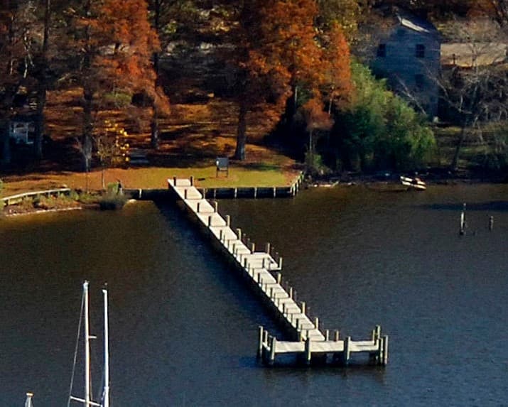
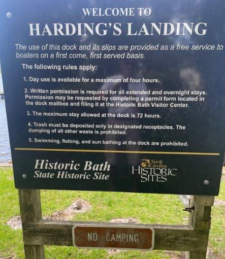
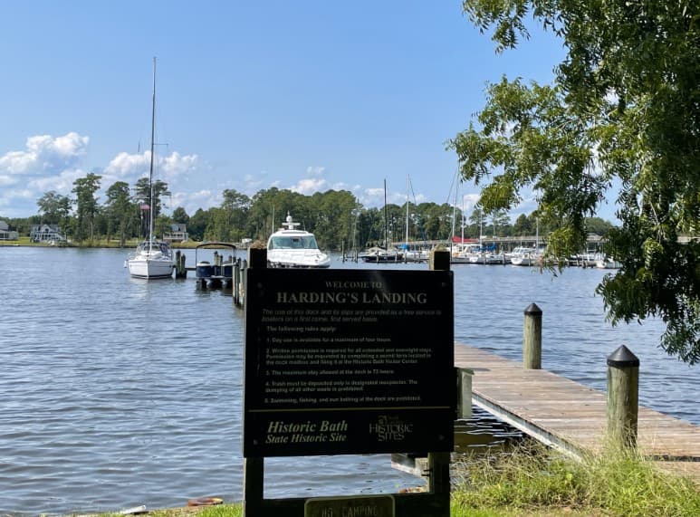
1 Free Dock. Owned & Maintained by the State of North Carolina. Room for 4 vessels Water depth: 8'-9' on Face (T) Dock 5'-7' on Dock Sides Registration Box at Head of Pier Free Dockage up to 72 Hours It is just off the channel and very near the Bath Harbor Marina that lies to the North of it. This is a free dock. The Bath Town Hall is on the premises, but it is open only one day per week!! The t
Show More
Harding's Landing (free dock) Installations
Wifi
Recyclage
Nourriture
Supermarché
Toilettes
35.47667 N, -76.81458 E
Harding's Landing (free dock) Information
Communauté active en hiver ?
Yes
Manœuvrabilité
Fair
Approches et balisage des canaux
Fair
Type de quai
Fixed
Profondeur à la marée basse moyenne
2 - 3m
Courant/flux de marée
Negligible
Port d'entrée
No
Amarrages pour visiteurs
Yes
Téléphone
+1 (252) 923-3971Harding's Landing (free dock) Weather Forecast
Mon
5AM - 9AM
12 January 2026
- NW 4–6 knots.
- −2 to 2°C
- Calm sea
- UV Index: 0 - Low
- Sunny
Mon
9AM - 1PM
12 January 2026
- Light and variable.
- Increasing from 1 to 7°C
- Calm sea
- UV Index: 2 - Low
- Sunny
Mon
1PM - 5PM
12 January 2026
- Light and variable.
- 6 to 8°C
- Calm sea
- UV Index: 0 - Low
- Mostly fine

Obtenez plus d'informations et des prévisions météorologiques précises.
Téléchargez l'application PredictWind pour des prévisions météorologiques de premier plan et des informations sur votre prochaine destination, y compris les emplacements marins, les commodités, les activités, les attractions, les dangers locaux et plus encore.