Siskiwit Bay Campground
Facilities & Weather Forecast
Siskiwit Bay Campground
Marina in United States
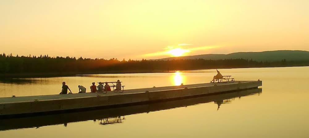
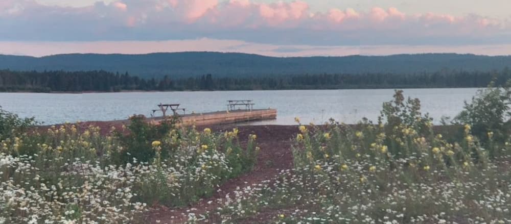
Coordinates: 47° 53' 25.6020" N, 88° 59' 55.5396" W Siskiwit Bay Campground is situated in Siskiwit Bay on the southwest side of Isle Royale National Park, accessible via the Island Mine and Feldtmann Ridge Trails. Boats are permitted to stay overnight at the dock, with a maximum stay limit of 3 nights between June 1 and Labor Day each year. The campground offers 2 shelters for visitors, and the
Show More
Siskiwit Bay Campground Installations
Eau
Toilettes
47.89101 N, -88.99842 E
Siskiwit Bay Campground Information
Communauté active en hiver ?
No
Manœuvrabilité
Good
Approches et balisage des canaux
Fair
Amarrages pour catamarans
No
Type de quai
Fixed
Profondeur à la marée basse moyenne
< 2m
Courant/flux de marée
Beware
Port d'entrée
No
Amarrages pour visiteurs
Yes
Téléphone
+1 (906) 482-0984Canal VHF
16
Siskiwit Bay Campground Weather Forecast
Tue
5AM - 9AM
13 January 2026
 SW 10–16 knots veering W 10-16 knots. Gusts up to 23 knots.
 1°C
1°C SW 0.7m at 3s period
 UV Index: 0 - Low
 Cloudy
Tue
9AM - 1PM
13 January 2026
- W 10–15 knots. Gusts up to 21 knots.
- 0 to 2°C
- SW 0.7m at 4s period
- UV Index: 0 - Low
- Cloudy
Tue
1PM - 5PM
13 January 2026
- NW 12–18 knots. Gusts up to 23 knots.
- 2°C
- SW 0.8m at 4s period
- UV Index: 0 - Low
- Cloudy

Obtenez plus d'informations et des prévisions météorologiques précises.
Téléchargez l'application PredictWind pour des prévisions météorologiques de premier plan et des informations sur votre prochaine destination, y compris les emplacements marins, les commodités, les activités, les attractions, les dangers locaux et plus encore.