Duncan Bay Campground
Facilities & Weather Forecast
Duncan Bay Campground
Marina in United States
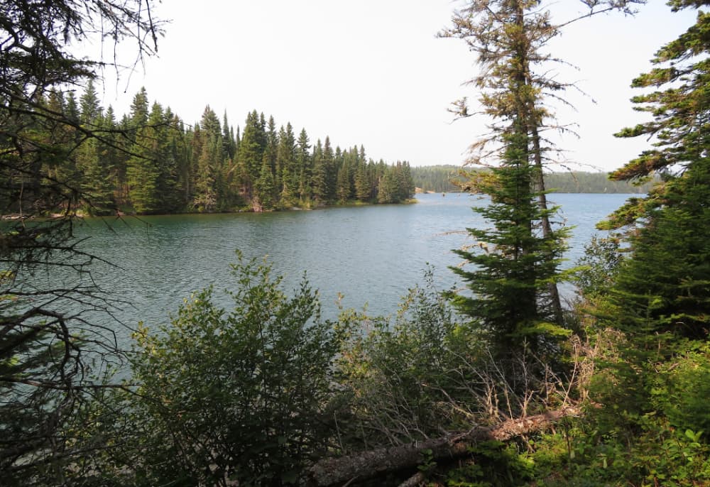
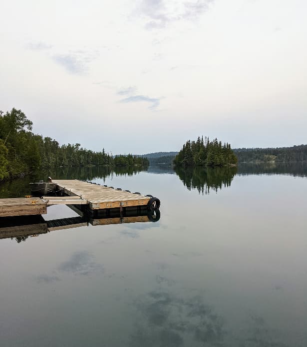
GPS Coordinates: 48° 9' 2.2788" N, 88° 31' 20.8956" W Duncan Bay Campground is located on the west end of Duncan Bay, on the northeast end of Isle Royale National Park. Boats can stay overnight at dock. Stay Limit: 3 nights from June 2 – Labor Day annually. Shelters: 2 Depth at dock (normal conditions): 6’ Access: Canoe/kayak/private boat
Duncan Bay Campground Installations
Aucune donnée d'installation disponible...
48.15092 N, -88.52105 E
Duncan Bay Campground Information
Communauté active en hiver ?
Yes
Manœuvrabilité
Good
Approches et balisage des canaux
Fair
Type de quai
Floating
Profondeur à la marée basse moyenne
< 2m
Courant/flux de marée
Negligible
Port d'entrée
No
Amarrages pour visiteurs
Yes
Téléphone
+1 906 482-0984Duncan Bay Campground Weather Forecast
Mon
5AM - 9AM
12 January 2026
 W 12–15 knots.
 0°C
0°C Sunny
Sunny
Mon
9AM - 1PM
12 January 2026
- W 12–18 knots. Gusts up to 23 knots.
- −1 to 2°C
 W 0.7m at 4s period
 UV Index: 0 - Low
- Mostly fine
Mon
1PM - 5PM
12 January 2026
- W 12 knots decreasing to 9 knots. Gusts up to 18 knots.
- 0°C
- W 0.6m at 4s period
- UV Index: 0 - Low
- Mostly fine

Obtenez plus d'informations et des prévisions météorologiques précises.
Téléchargez l'application PredictWind pour des prévisions météorologiques de premier plan et des informations sur votre prochaine destination, y compris les emplacements marins, les commodités, les activités, les attractions, les dangers locaux et plus encore.