Caribou Island Campground
Facilities & Weather Forecast
Caribou Island Campground
Marina in United States
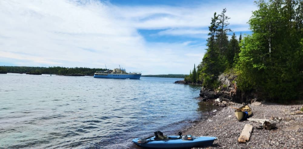
GPS Coordinates: 48° 5' 40.4556" N, 88° 34' 19.9344" W Caribou Island Campground is located on the very western tip of West Caribou Island, in Rock Harbor Channel, on the northeast end of Isle Royale National Park. Boats can dock overnight. Stay Limit: 3 nights effective from June 1 – Labor Day. Shelters: 2 Depth at dock (normal conditions): 10’ Access: Canoe/kayak/private boat https://www.nps.g
Show More
Caribou Island Campground Installations
Toilettes
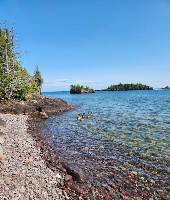
48.09509 N, -88.57184 E
Caribou Island Campground Information
Communauté active en hiver ?
Yes
Manœuvrabilité
Good
Approches et balisage des canaux
Excellent
Type de quai
Fixed
Profondeur à la marée basse moyenne
< 2m
Courant/flux de marée
Negligible
Port d'entrée
No
Amarrages pour visiteurs
Yes
Téléphone
+1 (906) 482-0984Caribou Island Campground Weather Forecast
Mon
5AM - 9AM
12 January 2026
 W 13–18 knots. Gusts up to 23 knots.
 0°C
0°C W 0.7m at 4s period
 UV Index: 0 - Low
 Cloudy
Mon
9AM - 1PM
12 January 2026
- W 13–15 knots. Gusts up to 19 knots.
- 0°C
- W 0.7m at 4s period
- UV Index: 0 - Low
- Cloudy
Mon
1PM - 5PM
12 January 2026
- W 14 knots decreasing to 11 knots. Gusts up to 18 knots.
- 0°C
- W 0.6m at 4s period
- UV Index: 0 - Low
- Partly cloudy

Obtenez plus d'informations et des prévisions météorologiques précises.
Téléchargez l'application PredictWind pour des prévisions météorologiques de premier plan et des informations sur votre prochaine destination, y compris les emplacements marins, les commodités, les activités, les attractions, les dangers locaux et plus encore.