Port of Pensacola
Facilities & Weather Forecast


Port of Pensacola
Marina in United States
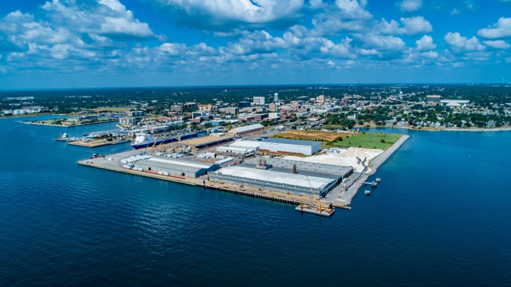
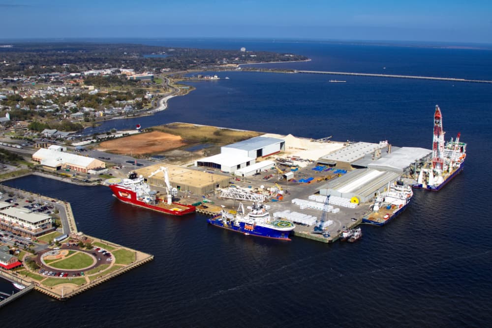
The official UN/Locode of this port is USPNS. Pensacola is located on the NNW shore of Pensacola Bay, Florida. General overview: Pensacola is a safe, natural harbour, with good anchorage located in the Gulf of Mexico. The port is 12.9km from the open sea with the entrance being at the western end of Santa Rosa Island. The harbour is connected to the Intra-coastal Waterway and is directly served by
Show More
Port of Pensacola Installations
Électricité
Essence
Diesel
Eau
Wifi
Eaux usées
Toilettes
Recyclage
Nourriture
Sortie d'eau
Installations médicales
Marchés
Gréeur
Dédouanement
30.40644 N, -87.21093 E
Port of Pensacola Information
Communauté active en hiver ?
Yes
Manœuvrabilité
Fair
Approches et balisage des canaux
Fair
Type de quai
Floating
Profondeur à la marée basse moyenne
3m+
Courant/flux de marée
Negligible
Port d'entrée
Yes
Amarrages pour visiteurs
Yes
Téléphone
+1 850-436-5070Canal VHF
16
Port of Pensacola Weather Forecast
Mon
5AM - 9AM
12 January 2026
- N 6–9 knots.
- 4 to 6°C
- Calm sea
- UV Index: 0 - Low
- Cloudy
Mon
9AM - 1PM
12 January 2026
- NE 8 knots decreasing to 5 knots.
- Increasing from 5 to 11°C
- Calm sea
- UV Index: 3 - Moderate
- Cloudy
Mon
1PM - 5PM
12 January 2026
- N 6 knots.
- 10 to 12°C
- Calm sea
- UV Index: 0 - Low
- Cloudy


Obtenez plus d'informations et des prévisions météorologiques précises.
Téléchargez l'application PredictWind pour des prévisions météorologiques de premier plan et des informations sur votre prochaine destination, y compris les emplacements marins, les commodités, les activités, les attractions, les dangers locaux et plus encore.