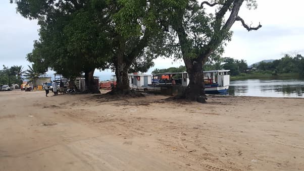
About Port of Anjahanambo - Maroantsetra
Agence Portuaire Maritime et Fluviale de Madagascar (APMF) **Port of Ankiakabe Latitude: -15.430748° Longitude: 49.758325° **Port of Anjahanambo Latitude: 15.440622° Longitude: 49.742230° The access to these ports depends on the tide level. The water draft is 1.5 meters only on low tide and 3 meters on high tide. There are no suitable facilities APMF HEADQUARTERS PORT, MARITIME AND RIVER AGENCY Building (APMF) Hydrocarbons Route, Alarobia Antananarivo Box 581 Tel: +261 20 22 539 95 / + 261 20 24 257 00 Fax: + 261 20 22 539 34 GSM: +261 32 11 257 00 Email: apmf@apmf.mg
Installations
COORDINATES
-15.43443 N, 49.75796 E
Port Information
Téléphone
Profondeur à la marée basse moyenne
2 - 3m
Channel Marking
Poor
Port d'entrée
Yes
Overseas Visitor Berths
Yes
Type de quai
Floating
Active Winter
Yes
Weather Forecast
Tue
5AM - 9AM
21 July 2026
 Light and variable.
 21°C
21°C Calm sea
 UV Index: 3 - Moderate
 Sunny
Sunny
Tue
9AM - 1PM
21 July 2026
- Light and variable.
- Increasing from 21 to 26°C
- Calm sea
- UV Index: 7 - High
- Sunny
Tue
1PM - 5PM
21 July 2026
- Light and variable.
- 22 to 27°C
- Calm sea
- UV Index: 0 - Low
- Sunny