About Siskiwit Bay Campground
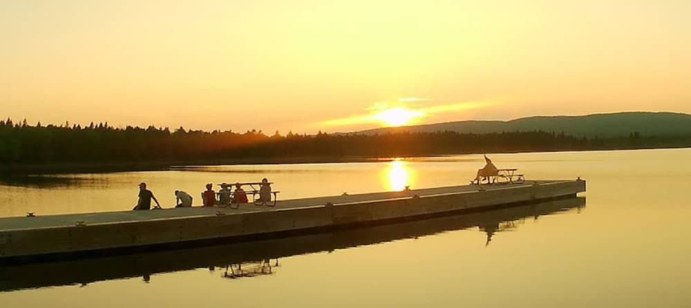
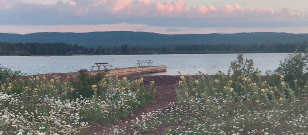
Coordinates: 47° 53' 25.6020" N, 88° 59' 55.5396" W Siskiwit Bay Campground is situated in Siskiwit Bay on the southwest side of Isle Royale National Park, accessible via the Island Mine and Feldtmann Ridge Trails. Boats are permitted to stay overnight at the dock, with a maximum stay limit of 3 nights between June 1 and Labor Day each year. The campground offers 2 shelters for visitors, and the dock depth under normal conditions ranges from 2 to 6 feet. Access is available by foot, canoe, kayak, or private boat. Contact for current information. Call ahead to confirm as prices are always subject to change
Einrichtungen
 Wasser
 Toiletten
COORDINATES
47.89101 N, 88.99842 W
Port Information
Telefon
Berth Sizes
< 10m, 10-20m
Tiefe bei MLW
< 2m
Manövrierbarkeit
Good
Channel Marking
Fair
UKW-Kanal
16
Einreisehafen
No
Overseas Visitor Berths
Yes
Katamaran-Liegeplätze
No
Stegart
Fixed
Style Side To
Yes
Tidal Flow
Beware
Active Winter
No
Weather Forecast
Mon
5AM - 9AM
27 July 2026
 NE 19 knots decreasing to 5 knots. Gusts up to 38 knots.
 12 to 15°C
 Calm sea
 Rain
Rain
Mon
9AM - 1PM
27 July 2026
- NE 6–11 knots. Gusts up to 16 knots.
- 12 to 15°C
- Calm sea
- Chance of showers
Mon
1PM - 5PM
27 July 2026
- E 8 knots decreasing to 5 knots.
- 13 to 18°C
- Calm sea
 UV Index: 4 - Moderate
- Mostly fine