About Caribou Island Campground
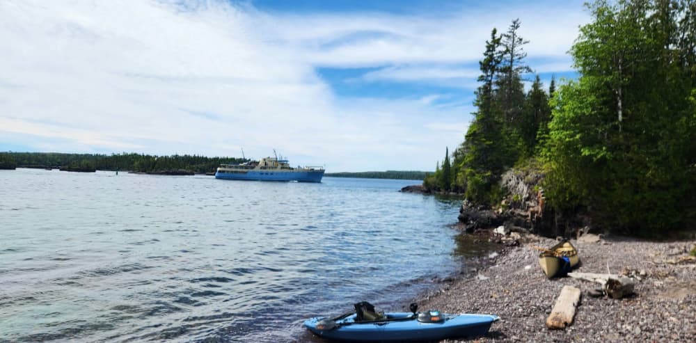
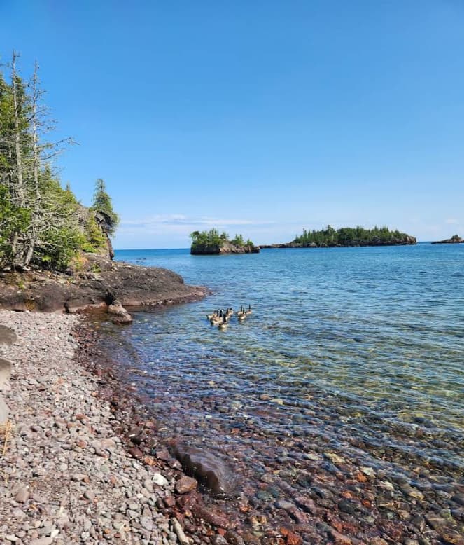
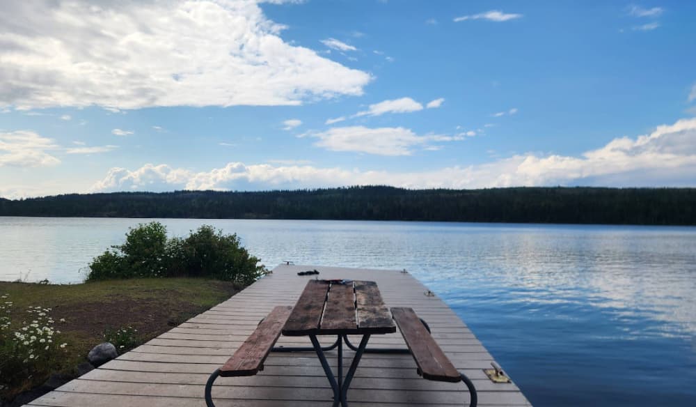
GPS Coordinates: 48° 5' 40.4556" N, 88° 34' 19.9344" W Caribou Island Campground is located on the very western tip of West Caribou Island, in Rock Harbor Channel, on the northeast end of Isle Royale National Park. Boats can dock overnight. Stay Limit: 3 nights effective from June 1 – Labor Day. Shelters: 2 Depth at dock (normal conditions): 10’ Access: Canoe/kayak/private boat https://www.nps.gov/isro/planyourvisit/boat-in-campgrounds.htm
Einrichtungen
 Toiletten
COORDINATES
48.09509 N, 88.57184 W
Port Information
Telefon
Berth Sizes
< 10m, 10-20m
Tiefe bei MLW
< 2m
Manövrierbarkeit
Good
Channel Marking
Excellent
Einreisehafen
No
Overseas Visitor Berths
Yes
Stegart
Fixed
Style Side To
Yes
Tidal Flow
Negligible
Active Winter
Yes
Weather Forecast
Tue
5AM - 9AM
28 July 2026
 NE 6 knots decreasing to 3 knots.
 12 to 16°C
 Calm sea
 UV Index: 0 - Low
 Sunny
Sunny
Tue
9AM - 1PM
28 July 2026
- NE 2 knots increasing to E 6 knots.
- 13 to 16°C
- Calm sea
- UV Index: 6 - High
- Sunny
Tue
1PM - 5PM
28 July 2026
- SE 6 knots increasing to S 9 knots.
- 14 to 17°C
- Calm sea
- UV Index: 6 - High
- Sunny