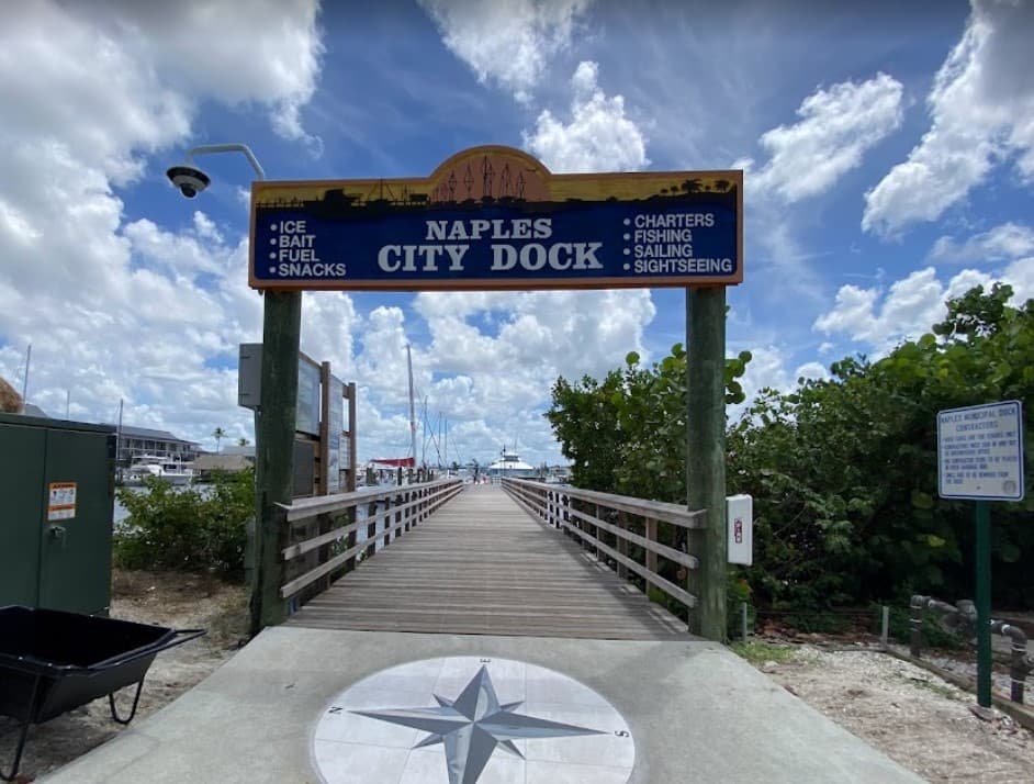
About Naples City Dock
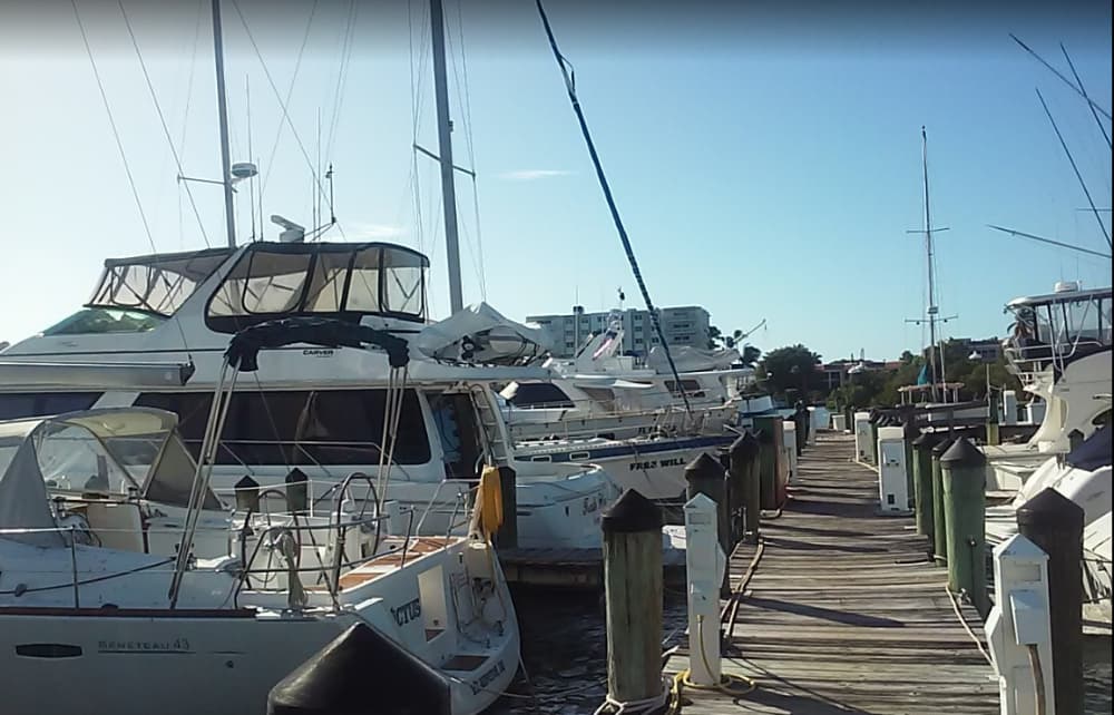
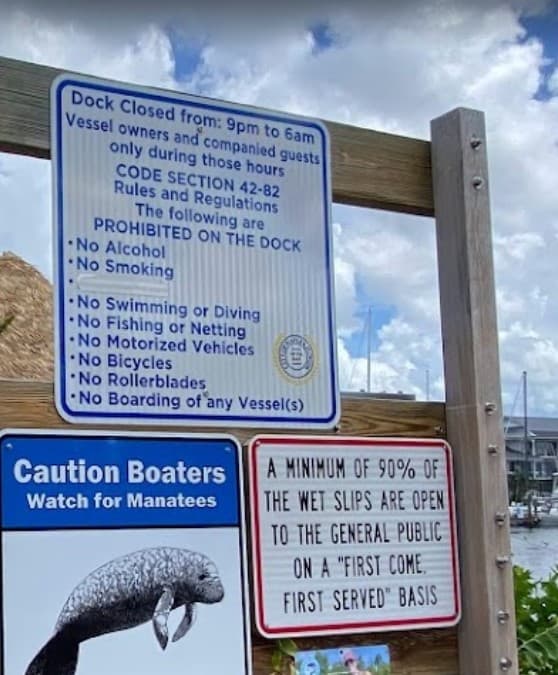
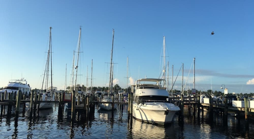
Located at 880 12th Avenue South, Naples, FL 34102, located in Crayton Cove just west of marker Red 36 on Naples Bay Surroundings: A central hub that’s walking-distance to Downtown Naples, including the 5th Avenue South and 3rd Street South districts—great for dining and shopping Atmosphere: A lively spot for strolling, with beautiful waterfront views, frequent dolphin sightings, and popular for sunset watchers Dockage Options: (Please check prices for any updates on their website) Floating slips: Approximately 79–84 slips, accommodating 30-60 ft vessels or larger Transient dockage: 400 feet of frontage for various vessel sizes; rates approximately $3.25/ft per night (plus utilities) Annual dockage: Available for vessels up to 60 ft; requires being on a waiting list. Liveaboards not permitted Mooring Field: Mooring balls available on a first-come, first-served basis. Must pump out and secure a valve tag before tying up. Restrictions: Max 43 ft overall length, 18.5 ft beam, 5 ft draft. Rates: $20 per night, max 4 consecutive nights, up to 8 nights in 30 days Fuel & Pump-Out: Fuel dock offers ethanol-free Rec-90 gasoline and off-highway dyed diesel 24/7 self-serve pump-out available at no charge Utilities: Utilities packages available: shore power (30 A – $5/night, 50 A – $10, 100 A – $15), water, and internet (Internet-only $5) Additional power options—30/50/100 A electric hookups—confirmed via Cruisers' Net Facilities: Restrooms, showers, laundry, and ice available—some requiring payment Amenities like cable TV in slips, Wi-Fi (nearby), snacks, and security are available Extra Services: Bait (frozen/live), coffee, cold drinks, charters (17 total for fishing, sailing, sightseeing) Nearby provisioning: markets, hotels, pharmacies, beaches within short distance Approach & Depth: Dockside depths around 9 feet at mean low water; channel well marked Maneuverability is good, making it friendly for various vessels Monitors VHF Channel 16; VHF channel and dockmaster contact info available

Einrichtungen
 Strom
Strom BenzinDiesel
 Wasser
 Duschen
 Abwasser
 Toiletten
 Recycling
 Essen
Essen Bar
Bar Wäscherei
 Supermarkt
Port Information
Telefon
Berth Sizes
Tiefe bei MLW
Manövrierbarkeit
Channel Marking
UKW-Kanal
Einreisehafen
Overseas Visitor Berths
Katamaran-Liegeplätze
Stegart
Style Side To
Style Stern To
Tidal Flow
Active Winter
Weather Forecast
 NW 5 knots increasing to N 10 knots.
 26 to 32°C
 Calm sea
 Rain
Rain
- N 7–12 knots backing W 7-12 knots.
- 27 to 32°C
- Calm sea
 UV Index: 10 - Very High
- Rain
- W 10 knots decreasing to 7 knots.
- 28 to 31°C
- W 0.4m at 3s period
- UV Index: 0 - Low
- Cloudy