Porto Vallugola
ItalyThe Marches

Porto Vallugola

1 Rating
VHF 8

About Porto Vallugola

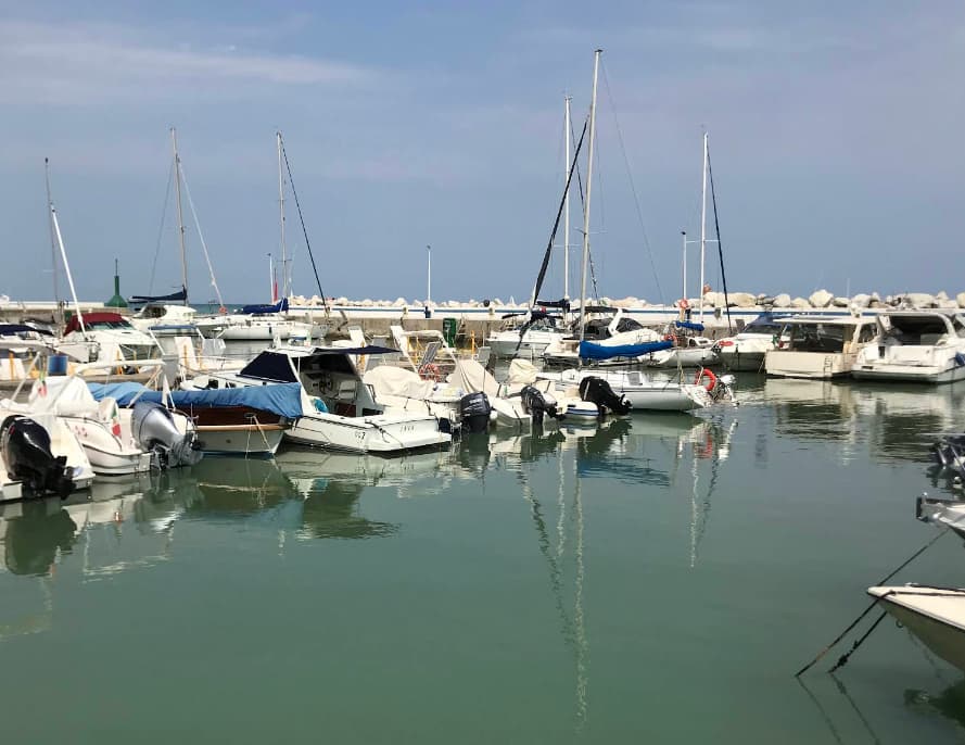
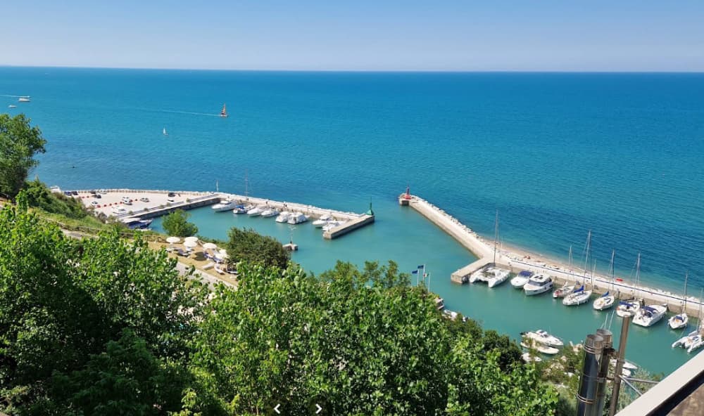
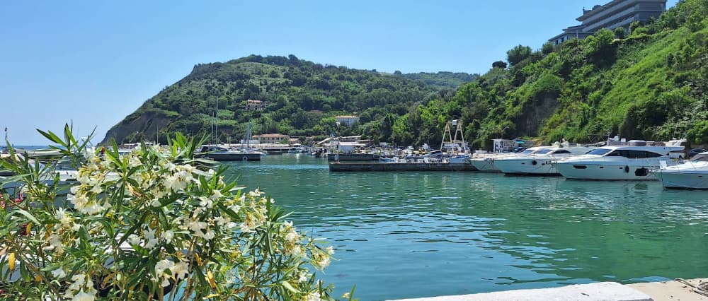
In an oasis of peace and tranquility, in the natural park of Monte San Bartolo, many services available to tourists and boaters: 150 berths; Electricity and water on the dock; Free Wi-Fi; 24-hour lighting and surveillance; Toilets and showers; Car parking; Bar and Restaurant; VHF channel 8; Newsstand and Tobacco Shop; Equipped beach; Dry parking area; Squero, haulage and 5t crane; Mooring assistance; Diver; 43°57'54.4″N - 12°47'05.9″E; draft 1.80 medium tide;
Marina Image
Marina Image
Marina Image

Einrichtungen

iconStrom
iconWasser
iconWLAN
iconDuschen
iconAbwasser
iconToiletten
iconRecycling
iconEssen
iconFahrräder
iconBar
iconAuskranen
COORDINATES
43.96448 N, 12.78511 E

Port Information

Berth Sizes

< 10m, 10-20m

Tiefe bei MLW

< 2m

Manövrierbarkeit

Fair

Channel Marking

Fair

UKW-Kanal

8

Einreisehafen

No

Overseas Visitor Berths

Yes

Katamaran-Liegeplätze

Yes

Stegart

Fixed

Style Stern To

Yes

Tidal Flow

Negligible

Active Winter

Yes

Get Local Knowledge

Download the PredictWind App for detailed local insights, hazards, and amenities.

Weather Forecast

Mon
5AM - 9AM
27 July 2026
  • wind icon
    SW 2–7 knots veering W 2-7 knots.
  • temp icon
    Increasing from 18 to 26°C
  • wave icon
    Calm sea
  • sun icon
    UV Index: 2 - Low
  • rain icon
    Sunny
Mon
9AM - 1PM
27 July 2026
  • wind icon
    W 4 knots increasing to NE 7 knots.
  • temp icon
    24 to 30°C
  • wave icon
    Calm sea
  • sun icon
    UV Index: 7 - High
  • rain icon
    Sunny
Mon
1PM - 5PM
27 July 2026
  • wind icon
    NE 6–10 knots.
  • temp icon
    25 to 31°C
  • wave icon
    Calm sea
  • sun icon
    UV Index: 7 - High
  • rain icon
    Sunny

Entdecken Sie weitere Marinas in The Marches

The Marches

Porto Ancona

The gulf of Ancona, between two hills, has been a safe shelter for sailors since the 16th century BC Findings of the Mycenaean age testify that already in the XIII century a. C. trade existed with Greece, then extended to the Istrian and Dalmatian coast by the Piceni. Finally, the Dorians, coming from their initial settlements in Syracuse, settled in the port and in the territory, founding the city of Ankòn which, in Greek, means elbow and which refers to the morphology of the promontory that protects the Gulf of Ancona. The gulf was equipped with the first piers and, subsequently, the Romans completed the work of their Greek predecessors. Today the port is one of the most vital and active in the Mediterranean and plays a primary role in commercial exchange. It is classified as an important international airport by the European Union, inserted in the Scandinavian-Mediterranean and Baltic-Adriatic corridor of the TEN-T networks. More than a million passengers pass through the port of Ancona on ferries and cruise ships bound for the shores of the eastern Adriatic (Croatia, Albania, Greece), also thanks to the barycentric position of the port in the area. Container traffic, which has grown in recent years, has exceeded 160,000 TEUs, attracting all the main world carriers of container transport. Also in this sector, as well as in the ferry and bulk carrier traffic - where the important contribution of the oil traffic generated by the API Falconara Marittima refinery is noted - the port of Ancona reveals its vocation as "Gateway to the East" and motorway terminal of the Sea of ​​the Adriatic-Ionian Macroregion at the service of the Italian and European market.

View Details